Log in
All resources
Create a design
33,996 Free Images of 1760 Maps
maps in the library of congress
latin-language maps
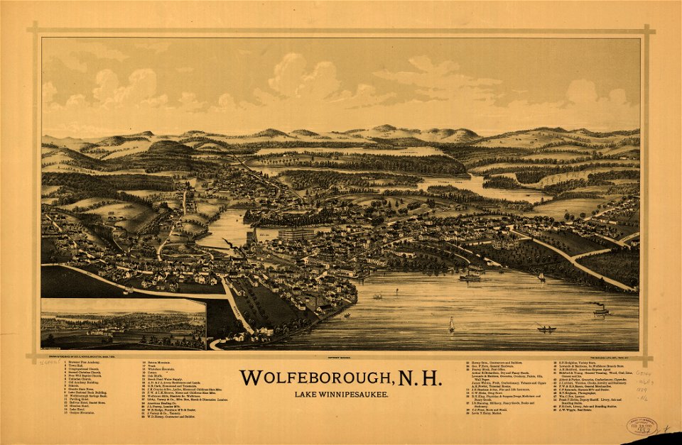
old maps of new hampshire
eran laor cartographic collection
richard william seale
english-language maps
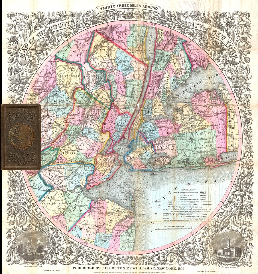
maps by joseph hutchins colton
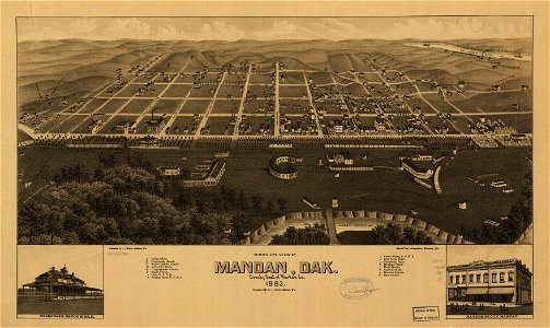
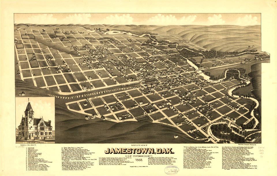
1883 maps
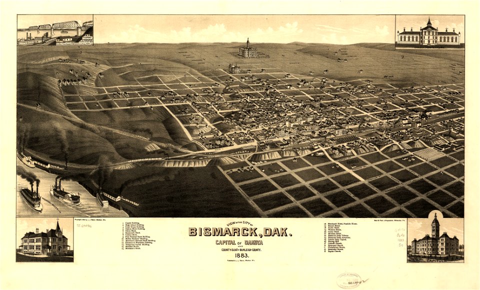
old maps of north dakota
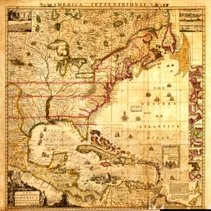
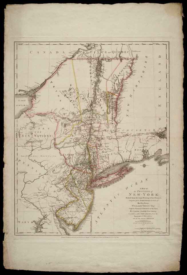
a map of the british empire in america with the french and spanish settlements adjacent thereto
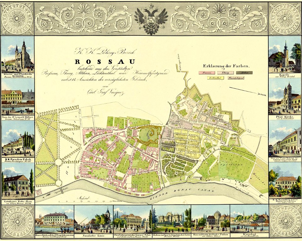
palais liechtenstein (fürstengasse)
vienna
a map of the british empire in america with the french and spanish settlements adjacent thereto
maps in the library of congress
a map of the british empire in america with the french and spanish settlements adjacent thereto
maps in the library of congress
a map of the british empire in america with the french and spanish settlements adjacent thereto
maps in the library of congress
a map of the british empire in america with the french and spanish settlements adjacent thereto
maps in the library of congress
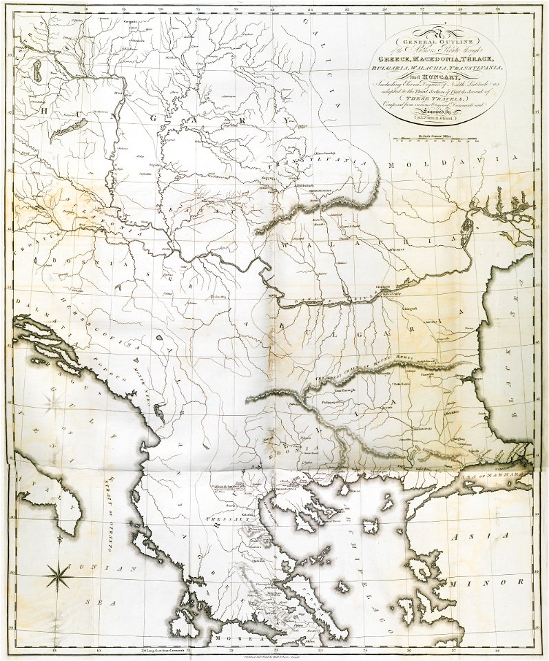
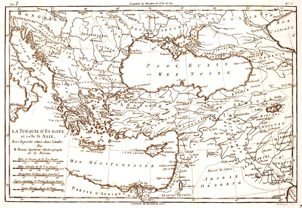
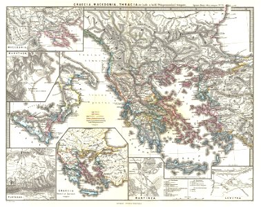
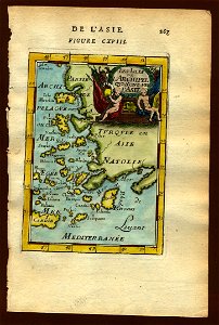
old maps of greece
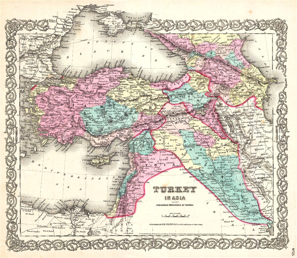
old maps of turkey
1780 maps of armenia
1780 maps of cyprus
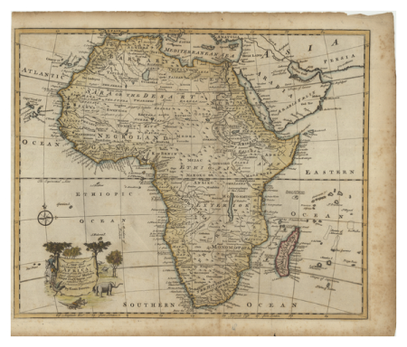
1780 maps of africa
1780 maps of egypt
19th-century maps of the caucasus
old maps of the middle east
old maps of ancient greece
karl spruner von merz
brooklyn borough hall
new york city hall
brooklyn borough hall
new york city hall
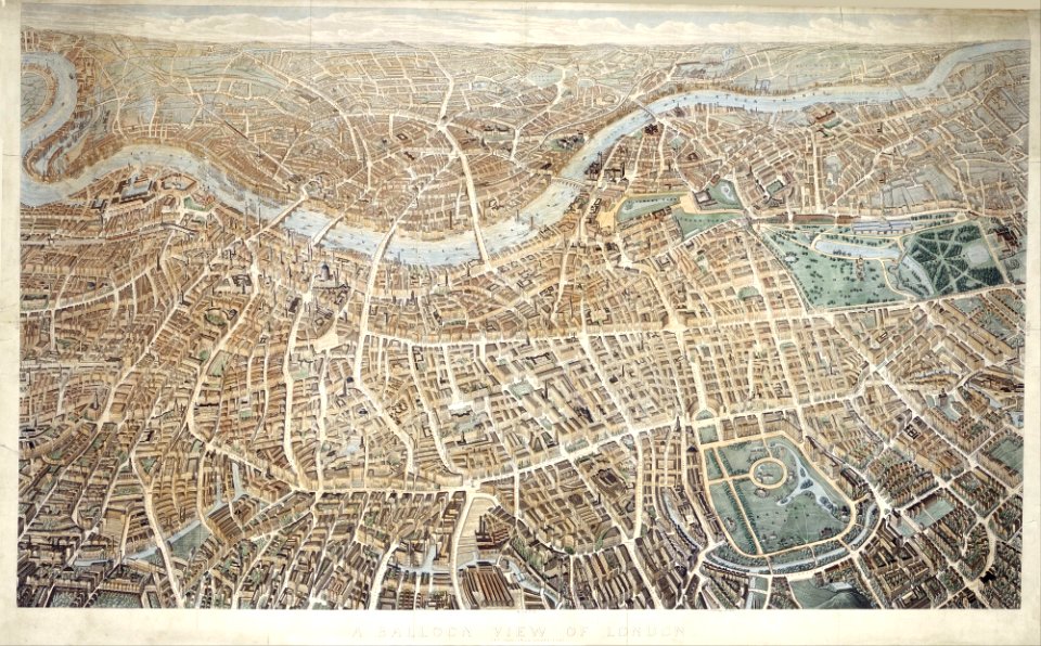
old maps of london
pictorial maps
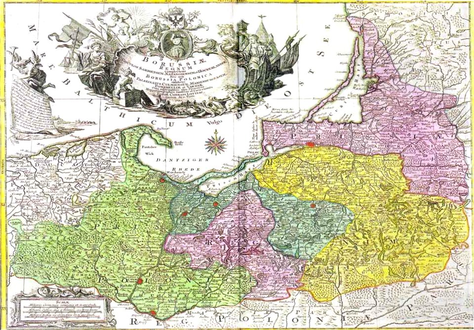
johann baptist homann
old maps of hesse
johann baptist homann
german-language maps
maps by homannsche erben
latin-language maps
maps by martin waldseemüller
1540s maps of africa
english-language maps
maps of voyages
description de l'universe
old maps of the nile
maps in the library of congress
ohio
maps in the library of congress
ohio
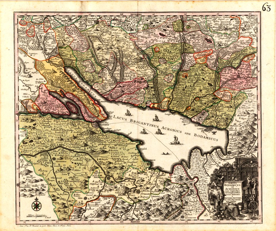
old maps of lake constance
maps by matthäus seutter
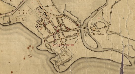
estate maps in the national library of wales
estate maps
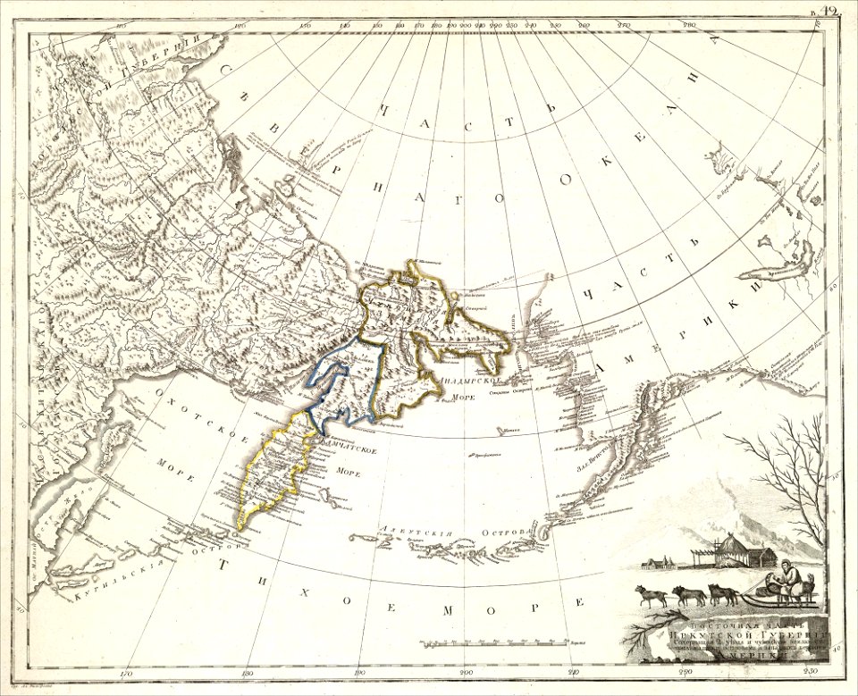
maps of petropavlovsk-kamchatsky
maps of russian america
eran laor cartographic collection
richard william seale
eran laor cartographic collection
richard william seale
eran laor cartographic collection
richard william seale
eran laor cartographic collection
richard william seale
eran laor cartographic collection
richard william seale
eran laor cartographic collection
richard william seale
maps with cartouches
old maps of toul
old maps of the middle east
assyrian people
maps in the library of congress
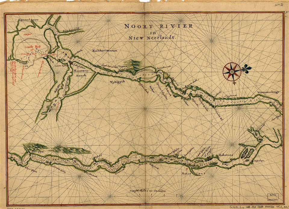
maps of the hudson
eran laor cartographic collection
richard william seale
historical map collection
maps by emanuel bowen
maps in the library of congress
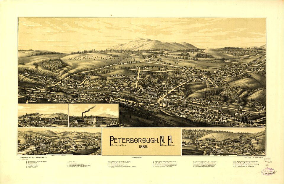
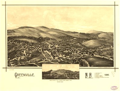
old maps of new hampshire
english-language maps
ptolemaic world maps
maps in the library of congress
old maps of new hampshire
charts and maps of the royal museums greenwich
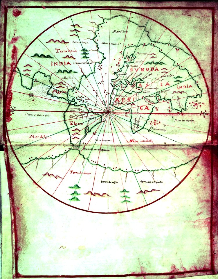
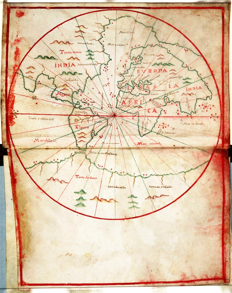
1590s maps of the world
charts and maps of the royal museums greenwich
1590s maps of the world
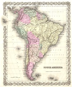
maps by joseph hutchins colton
1855 maps
1850s maps of south america
english-language maps
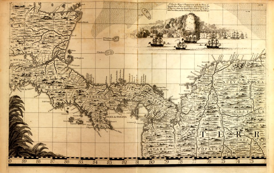
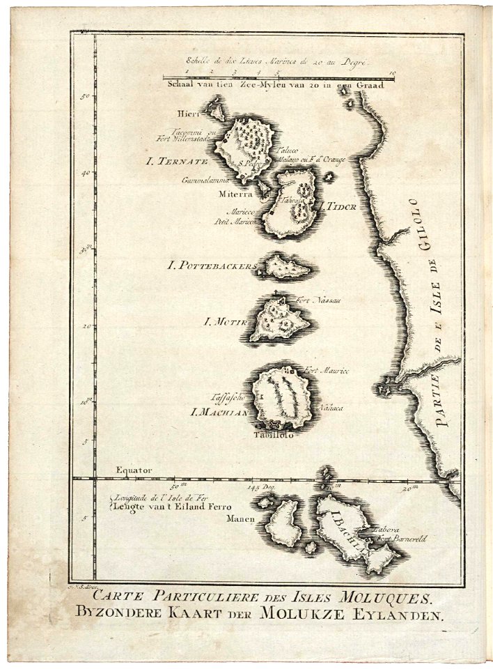
maps of the west-indische compagnie
maps by william faden
18th-century maps of indonesia
1753 maps
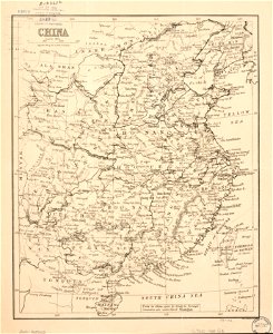
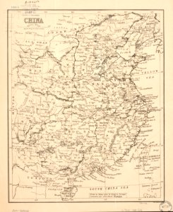
maps in the library of congress
old maps of china
maps in the library of congress
old maps of china
18th-century maps of italy
johann baptist homann
maps of 18th-century europe
latin-language maps
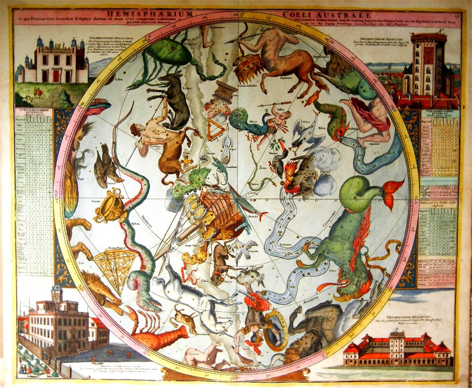
old celestial maps
maps with figures
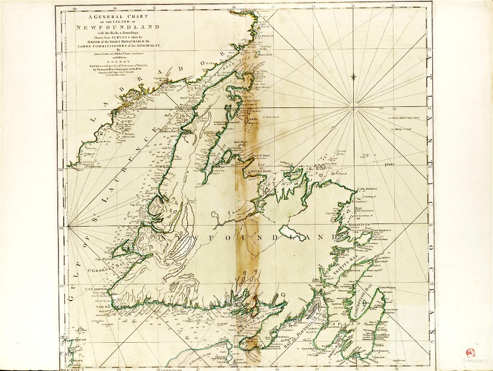
charts and maps of the royal museums greenwich
james cook (maps relating to)
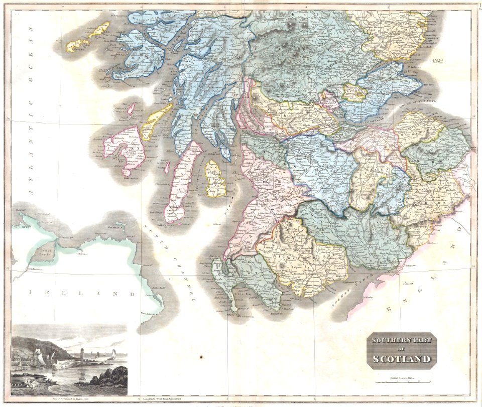
old maps of scotland
maps by john thomson
maps in the library of congress
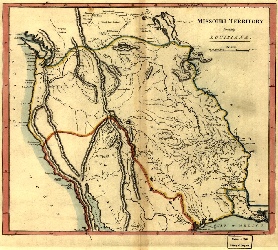
old maps of canada
maps in the library of congress
old maps of canada
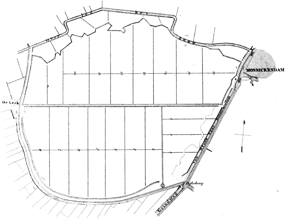
maps of polders in north holland
old maps of north holland
kardiotissas
polyaigos
old maps of greece
old maps of turkey
maps in the library of congress
old maps of new hampshire
maps in the library of congress
old maps of new hampshire
maps in the library of congress
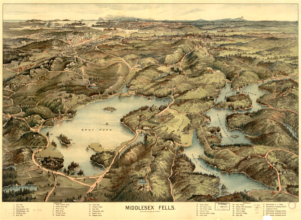
old maps of massachusetts
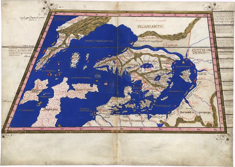
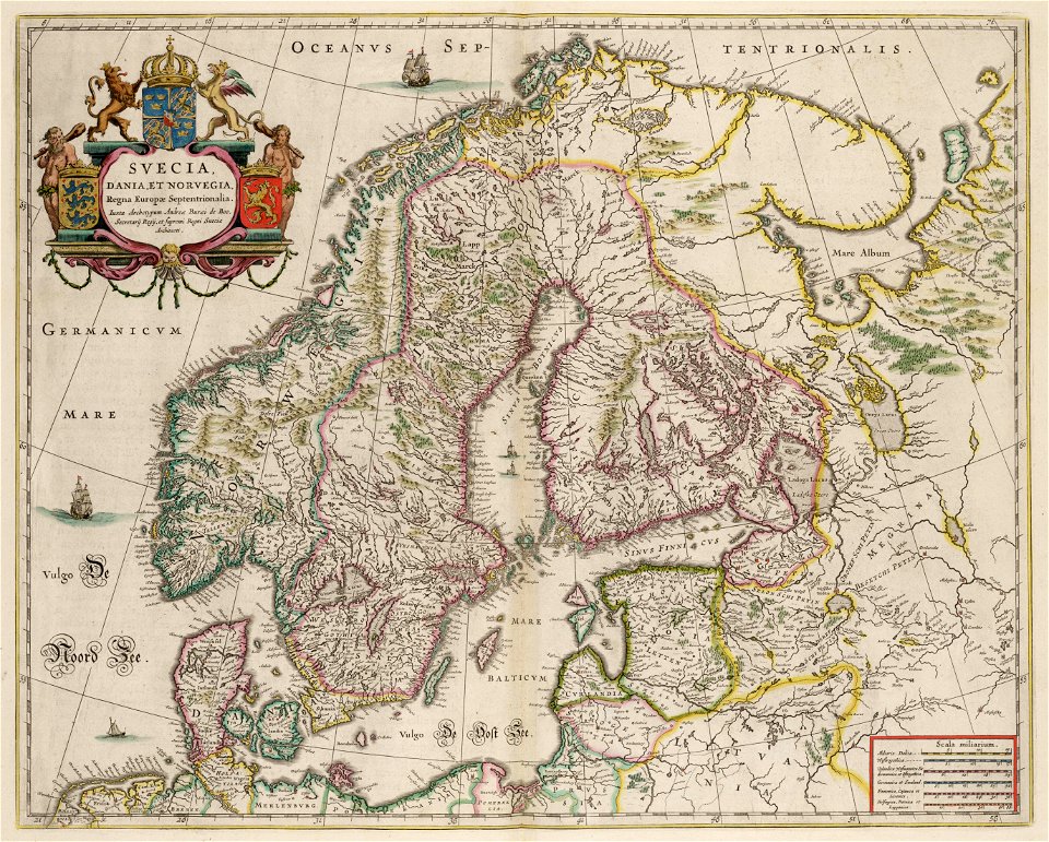
extra-ptolemaic maps of scandinavia
latin-language maps
extra-ptolemaic maps of scandinavia
latin-language maps
maps in the library of congress
old maps of massachusetts
eran laor cartographic collection
richard william seale
eran laor cartographic collection
richard william seale
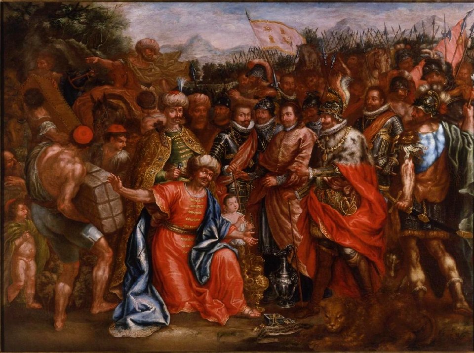
18th-century paintings in the royal academy of fine arts of san fernando
ferdinand iii of castile in paintings
maps by willem and johannes blaeu
copper engraving
english-language maps
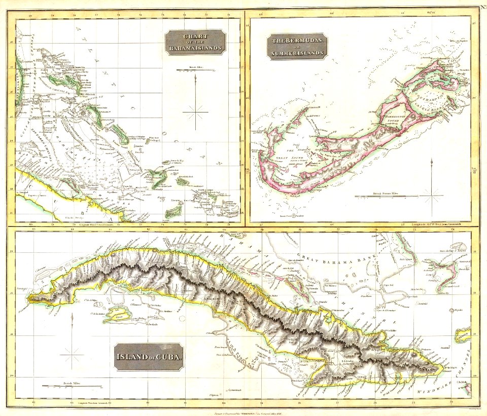
colonial cuba
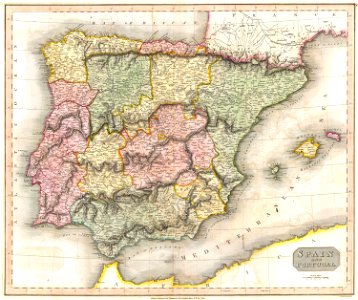
old maps of the iberian peninsula
maps by john thomson
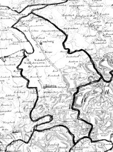
dillingen
saarland
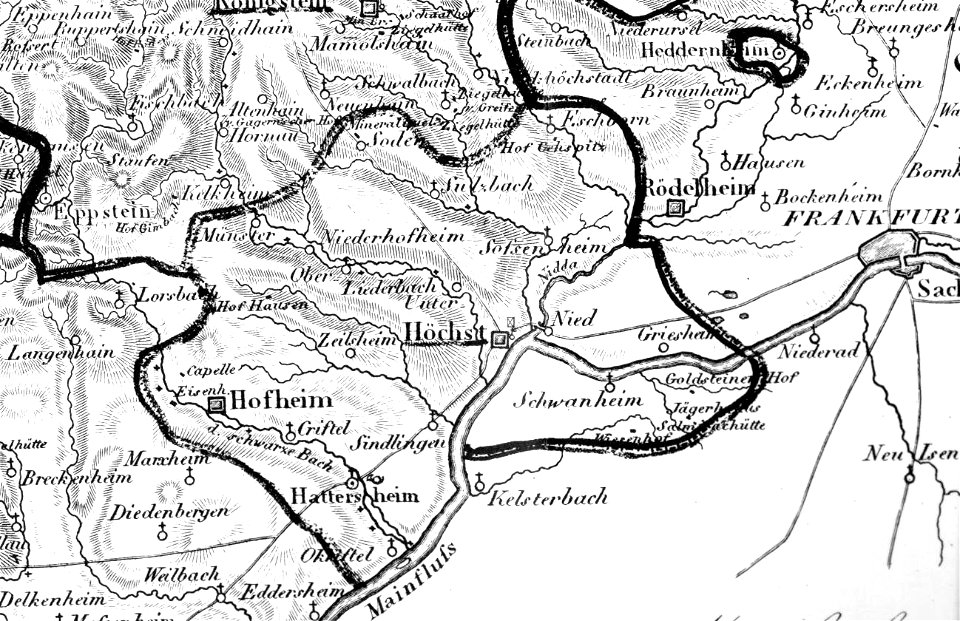
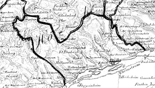
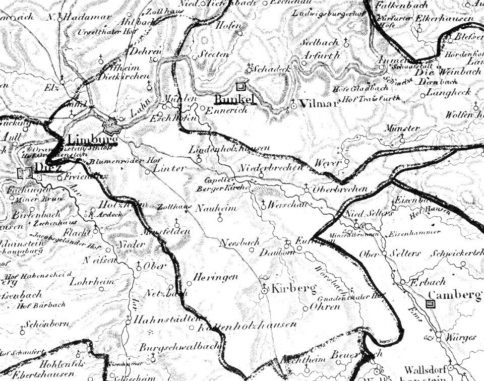
map „das herzogthum nassau“ by j.b. fischer
1828
eltville am rhein
1828
map „das herzogthum nassau“ by j.b. fischer
1828
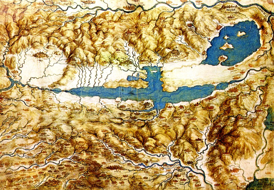
old maps of tuscany
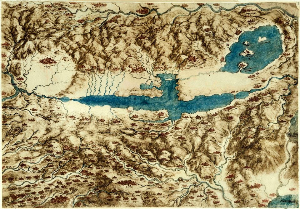
codex windsor
old maps of tuscany
codex windsor
kümmerly & frey
maps of bern
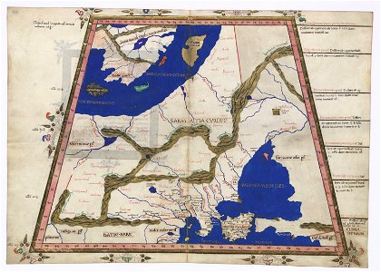
cosmographia claudii ptolomaei alexandrini
latin-language maps
map „das herzogthum nassau“ by j.b. fischer
1828
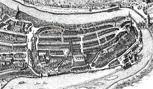
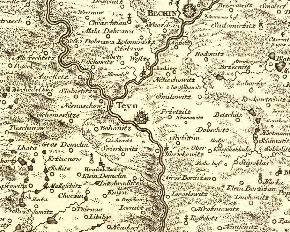
details of müller's map of bohemia
history of týn nad vltavou
old maps of tuscany
codex windsor
popular science monthly illustrations/volume 16
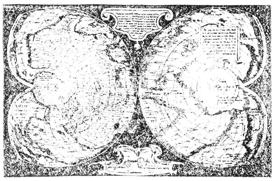
mercator 1569 world map
maps in the library of congress
old maps of new england
maps in the library of congress
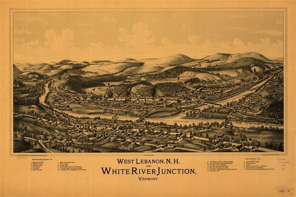
old maps of new hampshire
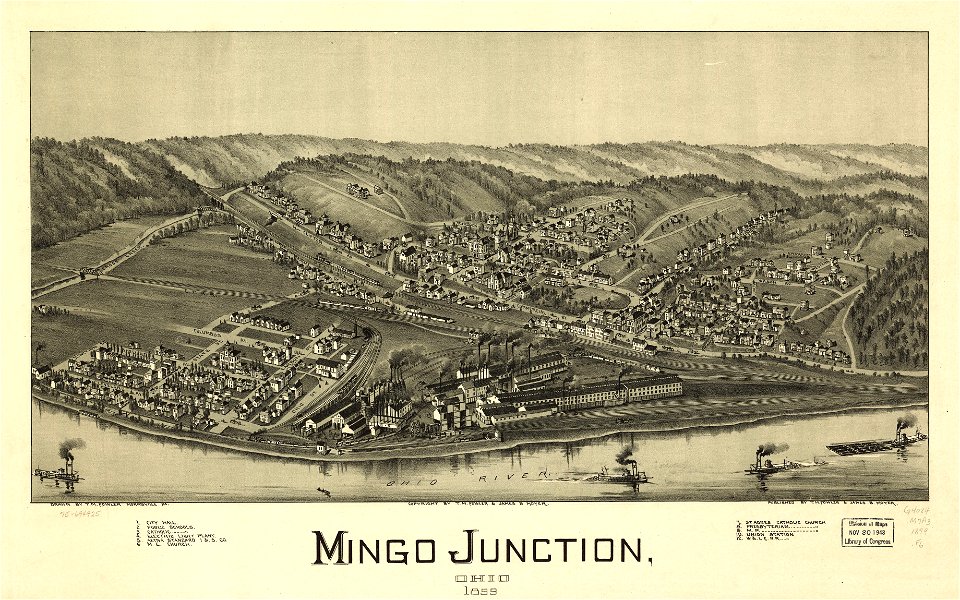
maps in the library of congress
1883 maps
maps in the library of congress
1883 maps
maps in the library of congress
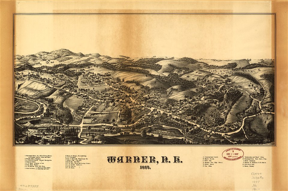
old maps of new hampshire
maps in the library of congress
old maps of new hampshire
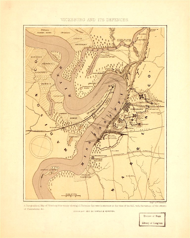
maps in the library of congress
mississippi
maps in the library of congress
mississippi
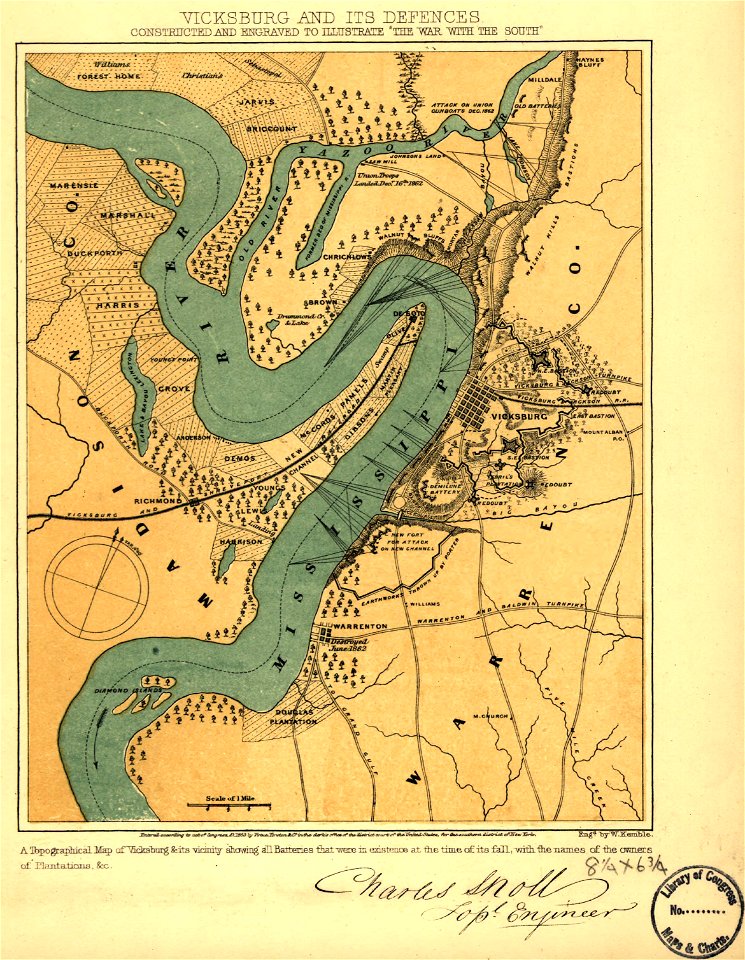
maps in the library of congress
mississippi
maps in the library of congress
old maps of new hampshire
maps in the library of congress
old maps of new hampshire
maps in the library of congress
old maps of new hampshire
maps in the library of congress
mississippi
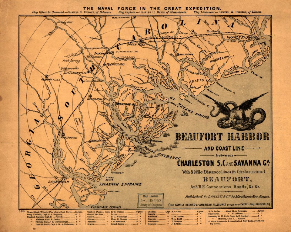
maps in the library of congress
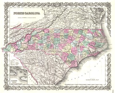
old maps of south carolina
maps in the library of congress
old maps of south carolina
maps in the library of congress
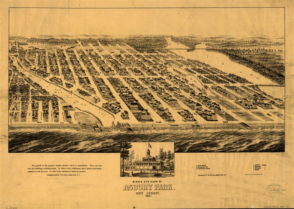
1881 maps
maps in the library of congress
1883 maps
maps in the library of congress
1881 maps
maps in the library of congress
1883 maps
maps in the library of congress
1883 maps
1601 - 1700 of 33,996
Next page
/ 340